The Strait of Hormuz remains the world’s most sensitive maritime chokepoint. With global energy security at stake, traditional military options often oscillate between “ineffective sanctions” and “costly ground invasions.” However, a new strategic concept is emerging: The Remote Buffer Zone.
This strategy proposes the creation of a 30km “no-go zone” along the Iranian coast, enforced not by boots on the ground, but by total aerial and technological dominance.
1. The Humanitarian Precondition: Evacuation via Information Warfare
The strategy begins with a massive psychological operation. Similar to tactics seen in modern urban conflicts, the civilian population would be warned to evacuate the coastal strip through leafleting and digital broadcasts.
The Impact:
- Target Area: The 450km stretch from Kish Island to Bandar-e Jask.
- Displaced Population: An estimated 1.5 to 1.8 million people, including the total evacuation of Bandar Abbas, Iran’s most critical naval hub.
- Objective: To strip the Iranian Revolutionary Guard Corps (IRGC) of its “human shield” and civilian infrastructure, which currently hides missile launchers and fast-attack craft.
2. Clearing the Waters: The Role of Minesweepers
Once the coast is cleared of civilian and asymmetric threats, the primary physical obstacle—sea mines—must be addressed. Iran possesses an estimated 3,000 to 5,000 naval mines.
In a “cleared” environment, modern minesweeping vessels and autonomous underwater vehicles (AUVs) can operate without the threat of shore-based anti-ship missiles. This ensures that the deep-water channels required for VLCCs (Very Large Crude Carriers) are reopened within weeks.
3. “No Occupation”: The Aerial Sentry Model
The core of this strategy is the rejection of traditional land occupation. Instead, the 30km strip becomes a Technological Kill Zone monitored by:
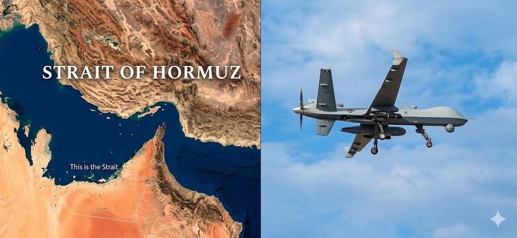
- Persistent UAV Surveillance: Drones like the MQ-9 Reaper provide 24/7 coverage. Any movement of heavy machinery or missile TELs (Transporter Erector Launchers) is met with immediate precision strikes.
- Satellite Constellations: Real-time infrared tracking monitors the “missile cities” hidden in the Zagros Mountains, intercepting any launch activity the moment a silo opens.
- Electronic Interdiction: Massive jamming and cyber-warfare to sever the link between Iran’s central command and its remaining coastal assets.
4. The Geopolitical Endgame
By transforming the Iranian coast into a “demilitarized desert,” the international community achieves two goals:
- Security: The Strait is reopened under international guarantee.
- Internal Pressure: The Iranian regime is forced to manage a domestic refugee crisis of nearly 2 million people without its most profitable coastal assets, likely leading to an internal collapse or a formal surrender of regional ambitions.
Conclusion
The “Remote Buffer” strategy represents the future of chokepoint management. It leverages technological superiority over human presence, minimizing Western casualties while maximizing the strategic squeeze on a hostile power.
Sources & Further Reading:
- Iran Population Statistics – Detailed demographic data on coastal cities.
- U.S. Navy Mine Countermeasures – Official fact sheet on minesweeping capabilities.
- World Oil Transit Chokepoints – EIA analysis of the Strait of Hormuz.
- Iran’s Military Power Report – Defense Intelligence Agency (DIA) assessment of Iranian coastal defenses.

Leave a comment